Geomorphology Monitoring
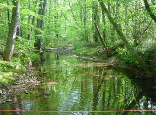
Cobb County Stream Monitoring follows the Stream Cross-Sectional Measurement Procedure as it is described in Georgia EPD’s macroinvertebrate sampling standard operating procedure. A cross-section is established around the 50-meter mark in an area representative of the sample reach.
Enough measurements are made so that the topography of the channel is captured. A tape measure and level line is stretched across the stream channel and labeled as a cross-section. At each cross-section vertical measurements are taken to indicate critical data points such as entrenchment of channel and various water depths. Horizontal measurements are also taken to indicate important locations such as the edge of bank, edge of water, and edge of sandbar. This data is used in the laboratory to create detailed maps of the stream channel. As more data is collected, maps may be used to compare changes that occur within the channel. Analyzed alongside other data sets such as land use, impervious surface, or high flow events, one may be able to correlate a cause and effect relationship with specific actions occurring in the watershed.
Geomorphology
Geomorphology, as it pertains to streams and rivers, is the study of stream channels, substrate, bank stability, flow characteristics and features or events influential in altering the river landscape. By examining the geomorphology of a particular stream, one would hope to gain insight into the cause and effect of processes such as erosion, bank failure, and sediment transport and deposition.
By measuring changes in channel width, formation of sandbars, water depth, and velocity, geomorphology attempts to answer what forces are working to shape the stream corridor. By observing short and long-term changes one hopes to begin to understand the relationship of isolated events (floods) as well as constant forces (swift rapids).
Using this knowledge allows the scientist and engineer to predict the progression of naturally occurring changes as well as impacts from man.